Fitjanuten


Fitjanuten
Location of the mountain
Show map of Rogaland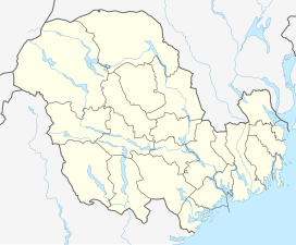
Fitjanuten
Fitjanuten (Vestfold og Telemark)
Show map of Vestfold og Telemark
Fitjanuten
Fitjanuten (Norway)
Show map of NorwayFitjanuten is a mountain in southern Norway. The 1,504-metre (4,934 ft) tall mountain lies on the border of the municipality of Suldal (in Rogaland county) and the municipality of Vinje (in Telemark county). The mountain lies just north of the lake Holmavatnet and about 5 kilometres (3.1 mi) south of the mountain Vassdalseggi.[2]
References
- v
- t
- e
 | This article about a mountain, mountain range, or peak in Rogaland is a stub. You can help Wikipedia by expanding it. |
- v
- t
- e


