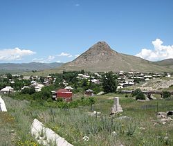
Karnut
40°47′01″N 43°57′15″E / 40.78361°N 43.95417°E / 40.78361; 43.95417
Place in Shirak, Armenia
Karnut Կառնուտ | |
|---|---|
 | |
  Karnut 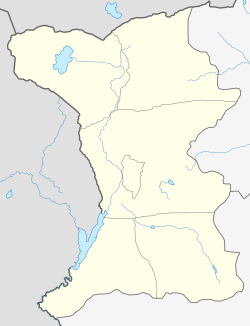 Karnut | |
| Coordinates: 40°47′01″N 43°57′15″E / 40.78361°N 43.95417°E / 40.78361; 43.95417 | |
| Country | Armenia |
| Province | Shirak |
| Municipality | Akhuryan |
| Population (2001) | |
| • Total | 992 |
| Time zone | UTC+4 |
| • Summer (DST) | UTC+5 |
Karnut (Armenian: Կառնուտ) is a village in the Akhuryan Municipality of the Shirak Province of Armenia.
Demographics
The population of the village since 1831 is as follows:[1]
| Year | Population |
|---|---|
| 1831 | 151 |
| 1897 | 965 |
| 1926 | 1,149 |
| 1939 | 1,136 |
| 1959 | 783 |
| 1970 | 719 |
| 1979 | 667 |
| 2001 | 992 |
| 2004 | 965 |
References
- ^ Հայաստանի Հանրապետության բնակավայրերի բառարան [Republic of Armenia settlements dictionary] (PDF) (in Armenian). Yerevan: Cadastre Committee of the Republic of Armenia. 2008. Archived from the original (PDF) on 11 March 2018.
- Karnut at GEOnet Names Server
- Report of the results of the 2001 Armenian Census, Statistical Committee of Armenia
- v
- t
- e
 Shirak Province
Capital: Gyumri

 | This article about a location in Shirak Province, Armenia is a stub. You can help Wikipedia by expanding it. |
- v
- t
- e


