Minamikoma District, Yamanashi
Rural district located in southern Yamanashi Prefecture, Japan

- Hayakawa
- Minobu
- Nanbu
- Fujikawa
Minamikoma (南巨摩郡, Minamikoma-gun) is a rural district located in southern Yamanashi Prefecture, Japan.
As of 1 October 2020, the district had an estimated population of 33,136 with a density of 33,65 persons per km2. The total area is 984.8 km2.[1]
Municipalities
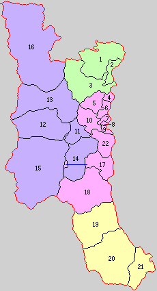
The district consists of four towns:
- Notes
- ^ a b c d Classified as a town.
History
This list is incomplete; you can help by adding missing items. (March 2023) |
District Timeline
Minamikoma District was founded from the split of Koma District during the early Meiji period establishment of the municipalities system on July 22, 1878 and initially consisted of 22 villages.
Recent mergers
- On March 1, 2003 - The town of Tomizawa was merged into the expanded town of Nanbu.
- On September 13, 2004 - The towns of Nakatomi and Shimobe (from Nishiyatsushiro District) were merged into the expanded town of Minobu.
- On March 8, 2010 - The towns of Masuho and Kajikazawa were merged to form the new town of Fujikawa.[2]
References


Authority control databases | |
|---|---|
| International |
|
| National |
|
35°25′01″N 138°24′43″E / 35.417°N 138.412°E / 35.417; 138.412
 | This article about a location in Yamanashi Prefecture is a stub. You can help Wikipedia by expanding it. |
- v
- t
- e


